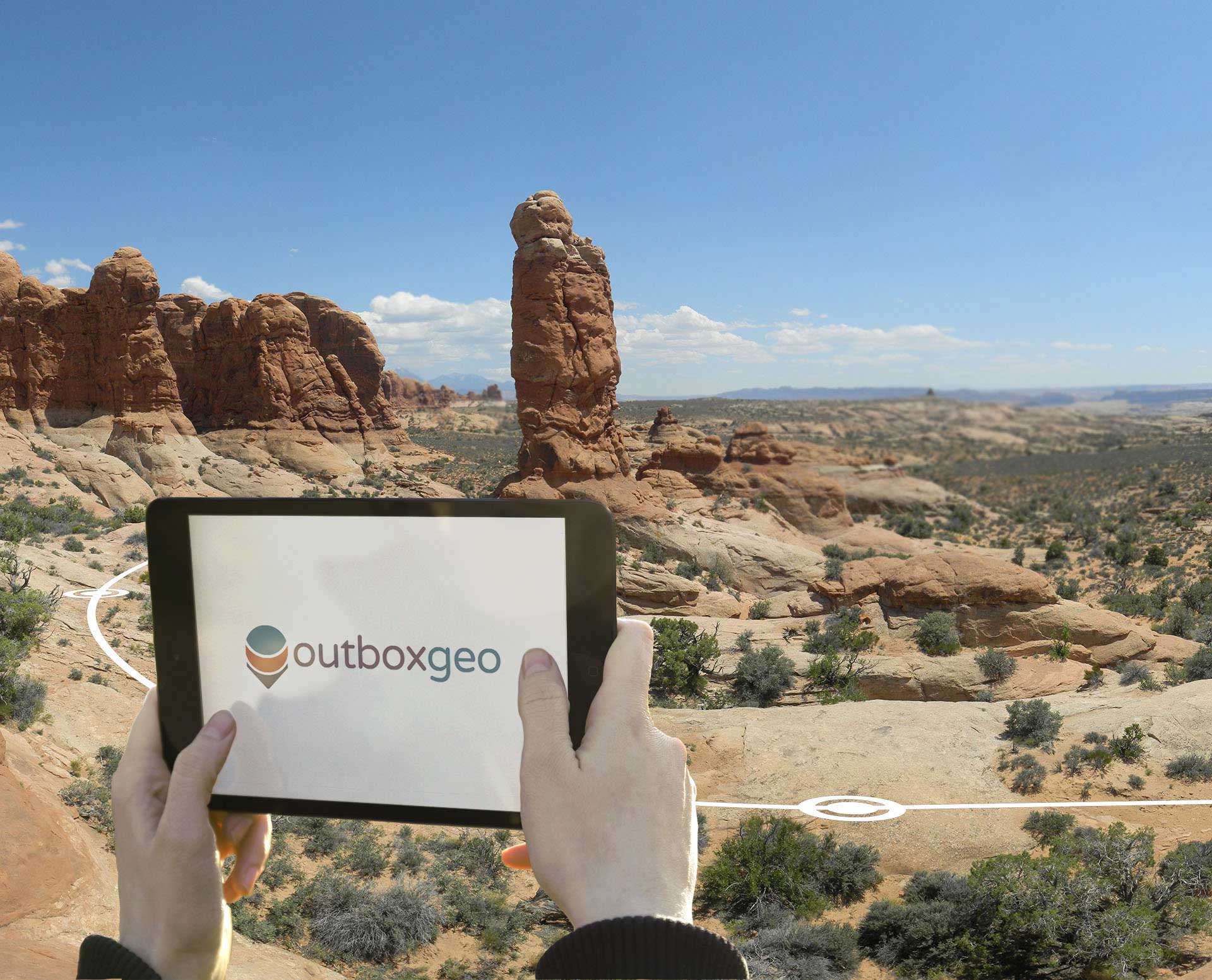

Ouboxgeo enables the creation of outdoor, location-aware mobile applications with multimedia content, originally developed for geolocation on hiking trails combined with video content on local flora.
Our technology can be applied to any type of customized outdoor tour for mobile devices that enables the user to determine their coordinates and view content that is location-relevant at specified points-of-interest.
We even offer the possibility of creating virtual content using 3D visualization and virtual reality to enhance the real-life surroundings for future construction sites or for a look into the past with historical renderings.
Outboxgeo was developed in collaboration with RQUER tecnología y sistemas.
Custom mapping
Custom map content with varying levels of zoom for local environments.
Geolocation engine
Application runs in the background for continuous geolocation.
POI (point-of-interest) proximity alert
When the device approaches a POI, an alert message is generated.
Real-time multimedia content rendering
The multimedia presentations are rendered in real-time using imagery, video, sound, text and graphics.
Low-space storage
Media files occupy minimal space and the media quality scalabity is guaranteed.
Content from server
Each content package is downloaded individualy from the server.
Encoded source content
The media files are encoded before installing the package to maximize security.